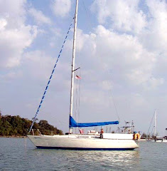
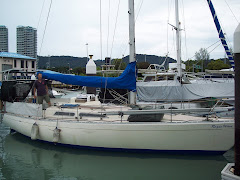
Damn work gets in the way.....it has been so busy at work I have been doing some long hours at night getting all the data I need to plan for this adventure. Finally received my Raymarine chart card reader and XL9 Chart of Australia so planning has commenced in earnest. Relle's away playing with our new grandson 'deckie' Aidan and keeping our grownup kids amused, so plenty of quiet time here to get my ideas on paper.
I have charted a few routes so far taking into account a couple of objectives. First of all lets look at the two routes possible - not taking into account the million variables.
It is widely recognised there is an Inner Route and Outer Route. This is with respect to the Great Barrier Reef. Ships carrying certain goods cannot transit the Inner Route and the majority of small vessels use this route as the preferred way north due to the protection offered by the reef. The difference in distance is significant; 7467 nm for the Inner versus 6536 for the Outer route. The Inner poses a navigational risk to a tired solo sailor without day hops in the reef areas. Apparently the nav lights are reasonably well spaced to permit night navigation.
The recognised route for records is the Outer Route. There are only a few people in Australia who have achieved a non-stop solo voyage around Australia......certainly gets the juices flowing!
Extract from the World Sailing Speed Record Council.
Around Australia. 6536M Either direction: Start / Finish: From any point in or close to a harbour acceptable to the WSSRC. Course: The vessel may sail either way around the continent and the course must enclose the whole of Australia and the following islands or capes: Ince Point on Wednesday Island of the Thursday Island Group (Queensland), Melville Island (Northern Territory), Montebello Islands (Western Territory) and South East Cape (Tasmania).
Wednesday, September 2, 2009
Subscribe to:
Comments (Atom)


